One platform, many possibilities.
We are carefully crafting the best user experiences and big data algorithms for processing Sentinel-1, Sentinel-2 and Meteosat satellite images and data from ground sensors to deliver field insights to farmers and crop insurances.
Our offer
Hi-resolution soil moisture and vegetation maps from satellites.
Our soil moisture algorith is processing Sentinel-1 & Sentinel-2 images and is connected to soil moisture sensors installed on fields to learn from historical data. Industry standard soil moisture accuracy is achieved and high accurate surface and root zone soil moisture measurements are not only measured but also forecasted for fields with various crop types.

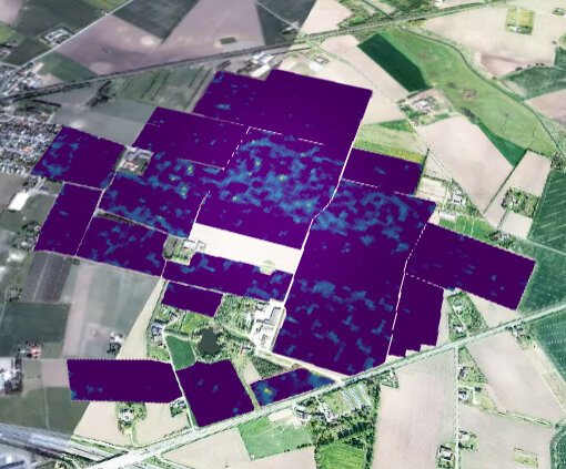
Crop damage detection.
Sentinel-1 SAR and Sentinel-2 optical satellite images, farming practice and climate affects are studied and dedicated algorithms are developed to inform users about changing field conditions and related risks.

Variable Rate Maps
Satellite enabled Crop monitoring is providing crop productivity insights, zoning, field navigation for precise soil sampling and variable rate prescription maps. Variable Rate Maps (VRM) can be downloaded (.iso, .shp) and used with IsoBus controllers.

Earth Observation, Sensors, AI & Crop Science
State of the art research findings and agriculture science are integrated into REFARMO algorithms. Accurate and tailored field analytics and crop management recommendations are calculated to support field operations.

Smart Contracting & Blockchain
Enabling transparency, saving administrative work and delivering state of the art solution to the agri-value chain and beyond.